
Parkland ZIP Coverage at a Glance
Two ZIP codes serve Parkland, and both extend beyond a simple city outline. The eastern code includes older Parkland areas and public facilities. The western code includes newer planned communities and part of Heron Bay. Official sources did not identify a Parkland-only retail station, PO-box-only code, unique institutional code, or recent ZIP split, so none should be inferred.
| ZIP | Areas Covered | Post Office | Boundary Notes |
|---|---|---|---|
| 33067 | Older and eastern Parkland, University Drive, BBB Ranches, eastern communities | Serving retail station not identified in official sources | Also covers places outside Parkland |
| 33076 | Western and northwestern planned communities, including Parkland portions of Heron Bay | Serving retail station not identified in official sources | Extends into Coral Springs and unincorporated pockets |
This ZIP code directory describes service areas, not a legal boundary survey. Broward's unincorporated-neighborhood report assigns parts of both codes to Northwest County Parcels in precinct Q040. That county evidence proves a postal Parkland label can cross a municipal line.
Parkland began with a far smaller footprint and expanded sharply in the 1970s. Early land evidence may name unincorporated Broward, a subdivision, or township-range-section rather than Parkland. The city reports that paved roads arrived only in the 1980s. Modern ZIP wording should not be projected backward onto deeds, plats, or historical records created before the same streets and municipal boundaries existed.
Parkland Mailing City Is Not Jurisdiction
USPS assigns mailing names and delivery codes. Broward and Parkland determine government jurisdiction. A “Parkland, FL 33076” line may identify efficient mail delivery while the parcel lies in Coral Springs or an unincorporated county pocket. The same distinction matters in 33067. City permits, code cases, taxes, voting districts, and service providers follow the mapped parcel, not just the city printed on an envelope.
Parkland's legal boundary runs roughly from State Road 7 toward the Everglades and from the Sawgrass Expressway toward Loxahatchee Road, but a rough description is not enough for a close parcel. Use the city-limit and millage fields on the official parcel system.
Boundary check. Verify postal delivery through USPS, then verify Parkland jurisdiction with BCPA and the Broward GIS city-limits layer.
Find Parkland Residents by ZIP
No official assessor or voter portal was verified to produce a full Parkland resident list from ZIP alone. The BCPA map displays a ZIP Codes layer, but its documented search tabs are Parcel ID, Name, and Address. Florida voter status search requires a person's first name, last name, and date of birth. Broward's Precinct Finder accepts an address and returns electoral geography without resident names.
- Use the USPS ZIP lookup to confirm the postal code for a complete address.
- Search the BCPA property system by address or owner, then record the folio, municipality, situs, and mailing address.
- Open Broward GeoHub or the BCPA map and compare ZIP and City Limits layers.
- Use the name or address in the appropriate official record. Move to the Parkland street directory for a street-level parcel chain.
The Parkland ZIP code directory is a narrowing tool. It should never turn a postal zone into an unsupported claim that every named owner occupies the parcel.
Map Parkland ZIP and Parcel Layers
BCPA GIS links postal geography to the record that carries legal weight. Search an exact folio, owner name, or street address. For address search, use the house number and street name while omitting direction and street type, then choose the correct candidate. The map can display ZIPs, city limits, roads, parcels, subdivisions, zoning, land use, census tracts, and house numbers.
| Field or tool | Type | Use |
|---|---|---|
| Parcel ID | Text | Exact folio lookup |
| Name | Text | Owner search |
| House Number | Text | Numeric address part |
| Street Name | Text | Omit direction and type |
| ZIP Codes / City Limits | Map layers | Compare postal and municipal outlines |
A parcel result can show owner, situs, mailing address, folio, legal description, use, values, exemptions, and sales references. Situs means the physical parcel address. Mailing means the tax-contact destination. Neither field alone lists all residents.
Heron Bay Crosses Parkland Lines
Heron Bay makes the ZIP-versus-city issue concrete. The planned community spans Parkland and Coral Springs, while 33076 also reaches unincorporated pockets. A community name and ZIP therefore cannot choose the correct city office. Use the parcel municipality and city-limit layer before requesting a permit, lien, code, or other local record.
Subdivision and legal-description fields help when postal wording changes. A legal description ties land to a lot, block, plat, or metes-and-bounds description. The folio links that durable land key to the current parcel roll. This is more reliable than guessing jurisdiction from “Heron Bay” alone.
Community contact lists add another layer, but they are not household directories. Parkland's HOA inventory identifies associations and managers for named communities and subcommunities. It does not publish members or occupants. Use it to identify an organization tied to a neighborhood, then return to county parcel data for an official ownership fact.
Read Parkland Address Fields Correctly
Three address forms appear across Parkland records. The situs is the physical parcel. The owner mailing address is where tax correspondence goes and can be elsewhere. The legal description is the durable deed key. Official Records may index a parcel or legal description even when a familiar street address is absent.
- ZIP code
- A USPS delivery area that does not define city limits.
- ZIP+4
- A more precise delivery segment appended to the five-digit code.
- PO-box ZIP
- A code assigned chiefly to post-office boxes; none was verified for Parkland.
- Unique ZIP
- A code assigned to one large recipient; none was verified for Parkland.
- Carrier route
- A delivery path within a postal area, not a resident roll.
BCPA sources do not publish a safe digit-by-digit folio decoding guide. Copy the number exactly instead of inventing meaning for each digit.
Parkland ZCTAs Are Statistical
Census ZIP Code Tabulation Areas, called ZCTAs, approximate ZIP geography for statistics. They are not USPS delivery boundaries. A thematic county ZIP map can also be useful for broad comparison while remaining nonlegal. Neither should settle which government serves one Parkland address.
No official Parkland-only per-ZIP population figures were verified in the research. Citywide population or income figures should not be divided between 33067 and 33076 without a matching official dataset and boundary method. The ZIP code directory stays focused on supported geography.
The same care applies to election geography. Broward Precinct Finder answers which precinct and districts serve an exact address. Florida's voter tool verifies one named voter with a birth date. Neither provides a public screen that enumerates every resident of 33067 or 33076. A statewide public extract is distributed on physical media, but it still carries exemptions and should be interpreted with its current record layout.
Confirm Parkland ZIP Boundaries
A sound result uses two tools because no single field answers both questions. USPS confirms how mail is coded. BCPA or Broward GIS confirms the parcel and municipality. Parkland static maps add local streets, parcels, commission districts, land use, and unincorporated-area context. For a government request, give the exact address and folio when known.
The screenshot below comes from Broward deed-recording guidance. It reinforces that a postal ZIP search and a recorded land search serve different jobs.
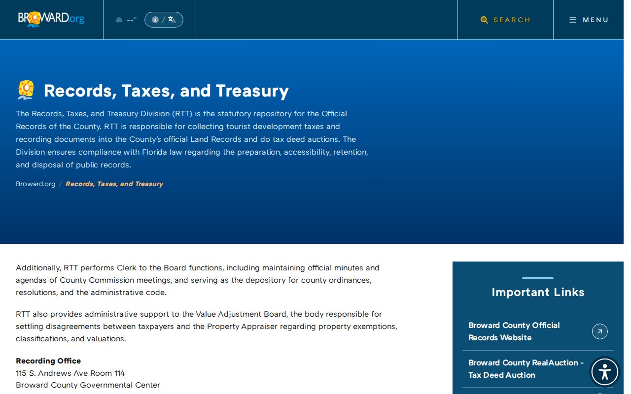
Once a folio or legal description is known, recorded deeds can confirm the land record without treating the ZIP as proof of residence.